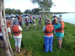
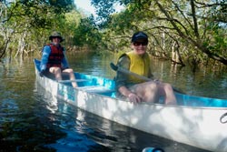
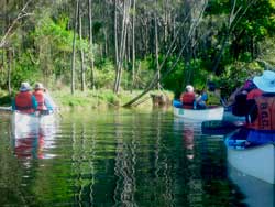
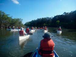
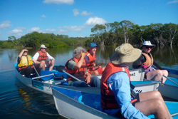
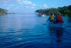
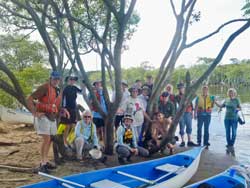
On 5 February, 2012, a canoe trip was carried out specifically for the Kedron Brook Catchment Branch/Network to get a closer look at the end of the Kedron Brook Catchment. Local Conservation Ranger, Mel Cooper, who has great knowledge of the area, was leader of this 'expedition' along Jackson Creek. Jade Hollands, from BCC - Environment centres, was the canoe instructor for the day and made sure that all the equipment was ready and organised as well as all safety requirements were in place.
Jackson Creek is soon to be drastically affected by the construction of the proposed western parallel runway at Brisbane Airport. In the past, the original part of Kedron Brook also flowed through this same swampy area with interconnections with Jackson Creek that also presently diverts residue flows from Serpentine Creek off the Airport area. (See UBD Maps 121-122, and particularly Map 111 ref R18.) Jackson Creek discharges into the Kedron Brook Floodway just short of the outfall of the floodway into Moreton Bay. A rough map (assisted by Google) helps.
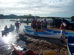
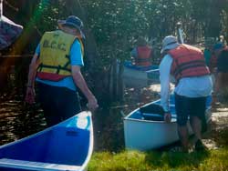
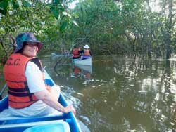
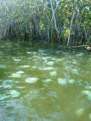
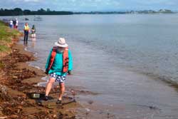
The group of canoeists started about 6 am from the boat ramp near Nudgee Beach adjacent to the Nudgee Transfer Station. Because the exploration was held to coincide with a king tide, the group was able to access the headwater of Jackson Creek (UBD Map 121 ref P5) over a short haul through a flooded mangrove swamp channel. The group were then able to journey down Jackson Creek through to the floodway just short of Moreton Bay. A short exploration of the Moreton Bay beach front was carried out mainly to allow the canoeists to stretch their legs... but a few bits of interesting flotsom attracted some interest. It was then just a short journey back up the floodway to the boat ramp.
All Images: Robert Standish_WhiteCopy : C.Ivin
CI 25/10/2012

